Aller au contenu principal
Châteaux pass
Stays
Voir les favoris
en
Blois Chambord - Loire Valley Tourist Office
DISCOVER THE DESTINATION
default
©
default
The Loire Valley Castles
Espaces Naturels September2021 Whoisreno 9278
©
Espaces Naturels September2021 Whoisreno 9278
La Loire
Ben 5576
©
Ben 5576
Châteaux de la Loire à Vélo - EN
Espaces Naturels September2021 Whoisreno 9248
©
Espaces Naturels September2021 Whoisreno 9248
Our individual holidays
OLYMPUS DIGITAL CAMERA
©
OLYMPUS DIGITAL CAMERA
Le Mag
TOURS AND ACTIVITIES
Walks and Visits
Sightseeing in Blois
Self-guided tours
Guided tours
Horseback riding
Hiking tours
Châteaux de la Loire à Vélo - EN
Activities
On the Loire
In the air
Bicycle rentals
Nature activities
Visit & wine tasting
Adventure games
Aquatic & Wellness centers
Leisure and wildlife parks
Local crafts & tours
Theaters
Our heritage
The Loire castles
Parks and Gardens
Visit Blois
Monuments
Museums
Our towns & villages
ORGANIZING YOUR STAY
Image 7687664
©
Image 7687664
All accommodations
Poitrine De Porc Christophe Hay Louise Jean Baptiste 2
©
Poitrine De Porc Christophe Hay Louise Jean Baptiste 2
Restaurants
Young Adults Travelling Winter Time
©
Young Adults Travelling Winter Time
All transport
Ben 4335
©
Ben 4335
In Groups
Espaces Naturels September2021 Whoisreno 9248
©
Espaces Naturels September2021 Whoisreno 9248
Our individual holidays
Sleep differently
Unusual
Bike home
On the banks of the Loire
Agenda
Practice
Hall rentals
Espaces Naturels September2021 Whoisreno 9705
©
Espaces Naturels September2021 Whoisreno 9705
Promotion lodging 2 times more comforter
Home – EN
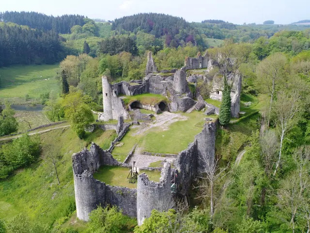
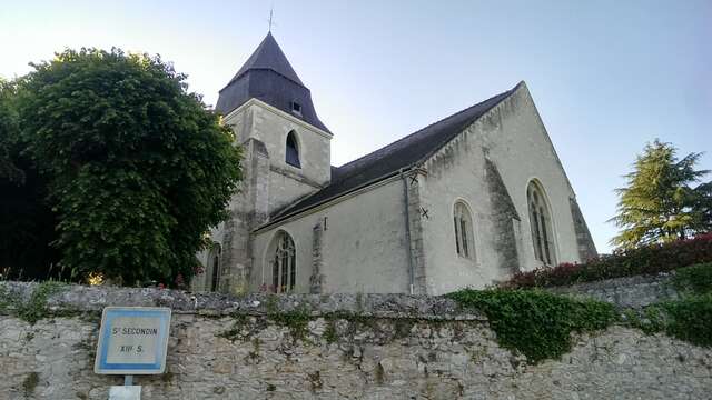
Entre moulins et châteaux de Valencisse
Entre moulins et châteaux de Valencisse
Walks and hikes
41190 Valencisse
Getting there
×
Open the itinerary in
Google Maps
Apple Plans
Waze
Mappy
Share
Ajouter aux favoris
Add to my favorites
×
Share this sheet
Entre moulins et châteaux de Valencisse
E-mail
WhatsApp
Facebook
X
LinkedIn
Pinterest
Medias
Medias
Points of interest
Points of interest
Points of interest
1
2
from
85
€
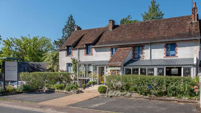
A La Lettre Thé
Valencisse
3
from
89
€
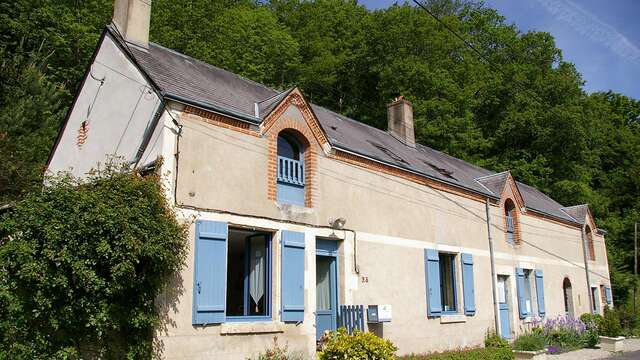
La Source de Bury
Valencisse
4
5
6
9
€
Orchaise Priory Botanical Park
Orchaise
7
from
175
€
Le Prieuré d'Orchaise
Valencisse
8
Is proposed by
Is proposed by
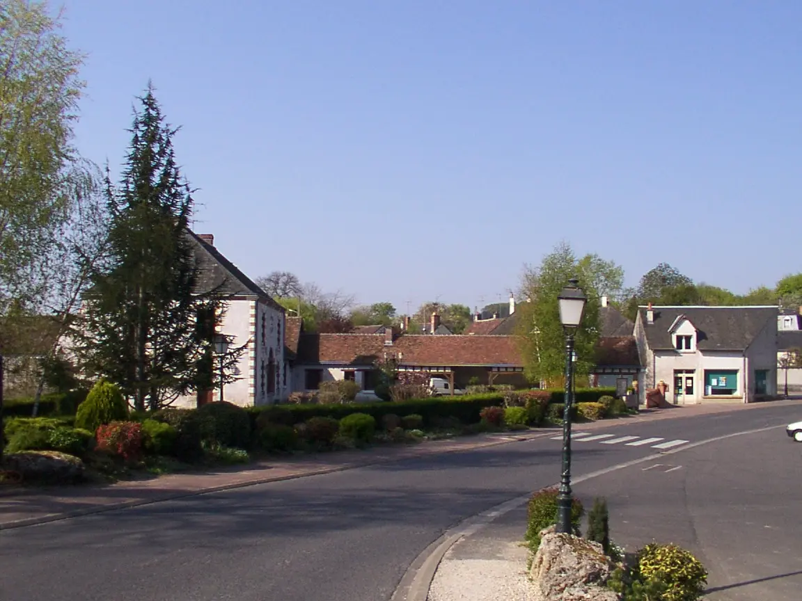
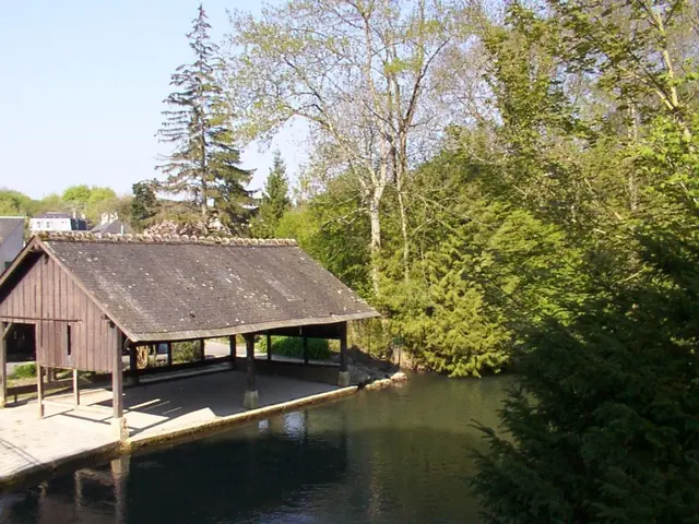
Molineuf
Molineuf lies on the banks of the Cisse, which winds its way from the cereal-growing plateau of the Beauce to the vineyard-covered hillsides overlooking the Loire at the...
Molineuf
Close
Popular searches
{% label %}
Page suggestions
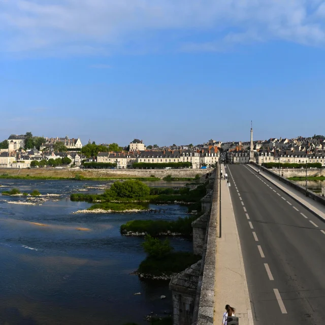
Blois Chambord Pont Jacques Gabriel 2022 07 21 08 45 00
©
Blois Chambord Pont Jacques Gabriel 2022 07 21 08 45 00
Accommodation on the banks of the Loire
©
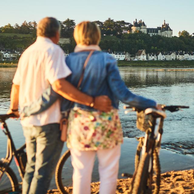
Loire à Vélo 2
|
Benjamin Brolet
Accueil Vélo accommodation
Ballade en famille dans les jardins de Cheverny
©
Ballade en famille dans les jardins de Cheverny
|
Benjamin Brolet
Agenda
Filter search
Page types
All
Articles
Agenda
Lists
Aucun résultat
/
English
Français
Deutsch
Español
Close
×