Aller au contenu principal
Châteaux pass
Stays
Voir les favoris
en
Blois Chambord - Loire Valley Tourist Office
DISCOVER THE DESTINATION
default
©
default
The Loire Valley Castles
Espaces Naturels September2021 Whoisreno 9278
©
Espaces Naturels September2021 Whoisreno 9278
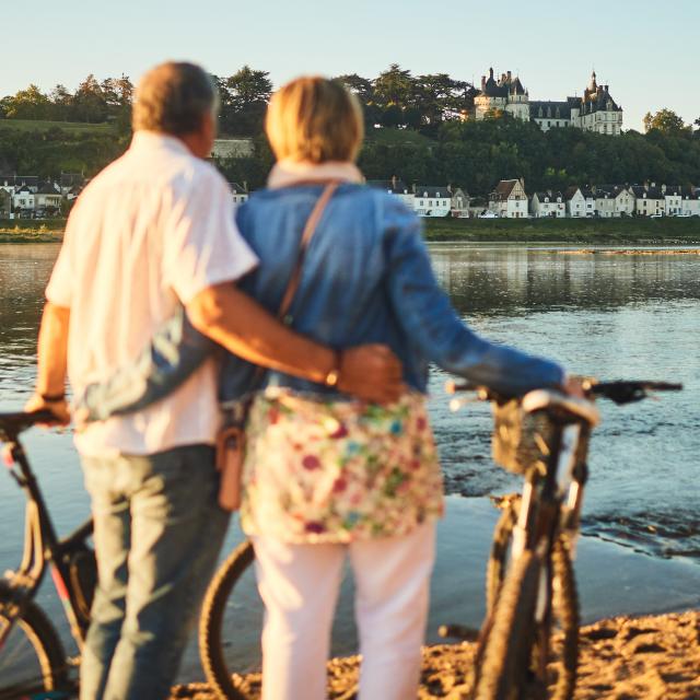
La Loire
Ben 5576
©
Ben 5576
Châteaux de la Loire à Vélo - EN
Espaces Naturels September2021 Whoisreno 9248
©
Espaces Naturels September2021 Whoisreno 9248
Our individual holidays
OLYMPUS DIGITAL CAMERA
©
OLYMPUS DIGITAL CAMERA
Le Mag
TOURS AND ACTIVITIES
Walks and Visits
Sightseeing in Blois
Self-guided tours
Guided tours
Horseback riding
Hiking tours
Châteaux de la Loire à Vélo - EN
Activities
On the Loire
In the air
Bicycle rentals
Nature activities
Visit & wine tasting
Adventure games
Aquatic & Wellness centers
Leisure and wildlife parks
Local crafts & tours
Theaters
Our heritage
The Loire castles
Parks and Gardens
Visit Blois
Monuments
Museums
Our towns & villages
ORGANIZING YOUR STAY
Image 7687664
©
Image 7687664
All accommodations
Poitrine De Porc Christophe Hay Louise Jean Baptiste 2
©
Poitrine De Porc Christophe Hay Louise Jean Baptiste 2
Restaurants
Young Adults Travelling Winter Time
©
Young Adults Travelling Winter Time
All transport
Ben 4335
©
Ben 4335
In Groups
Espaces Naturels September2021 Whoisreno 9248
©
Espaces Naturels September2021 Whoisreno 9248
Our individual holidays
Sleep differently
Unusual
Bike home
On the banks of the Loire
Agenda
Practice
Hall rentals
Espaces Naturels September2021 Whoisreno 9705
©
Espaces Naturels September2021 Whoisreno 9705
Promotion lodging 2 times more comforter
Home – EN
Forêt et Châteaux de Bracieux
Forêt et Châteaux de Bracieux
Walks and hikes
41250 Bracieux
Getting there
×
Open the itinerary in
Google Maps
Apple Plans
Waze
Mappy
Share
Ajouter aux favoris
Add to my favorites
×
Share this sheet
Forêt et Châteaux de Bracieux
E-mail
WhatsApp
Facebook
X
LinkedIn
Pinterest
Medias
Medias
Points of interest
Points of interest
Points of interest
1
2
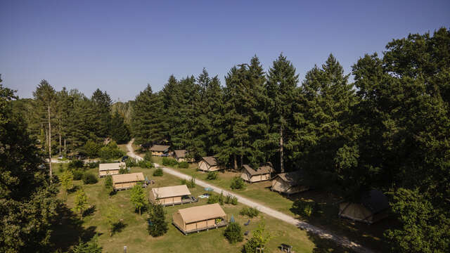
Huttopia Les Châteaux
Bracieux
3
from
7
€
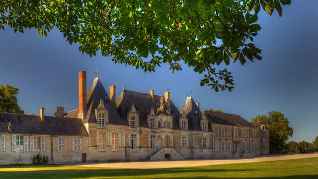
Château de Villesavin
Tour-en-Sologne
4
from
70
€
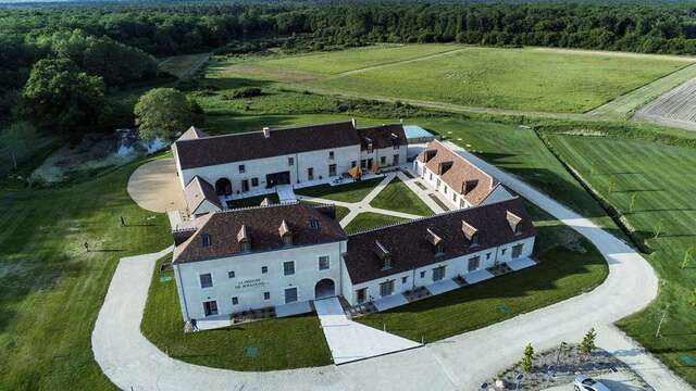
Le Prieuré de Boulogne Hôtel et Restaurant
Tour-en-Sologne
Is proposed by
Is proposed by
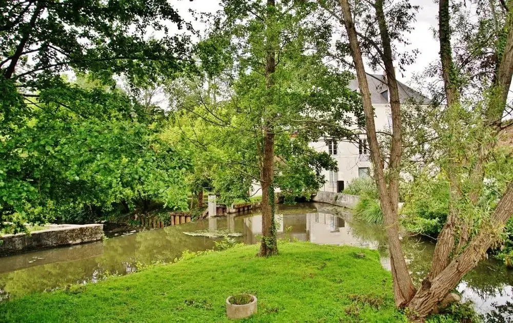
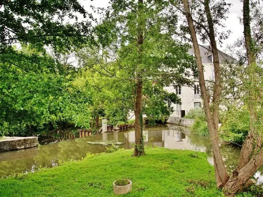
Bracieux
Our village The village of Bracieux is nestled between rivers, forests and ponds. Historically, it grew up at the crossroads of great roads, notably the Chemin aux bœufs, from...
Bracieux
Close
Popular searches
{% label %}
Page suggestions
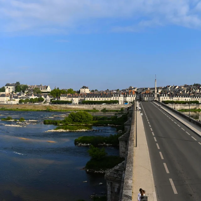
Blois Chambord Pont Jacques Gabriel 2022 07 21 08 45 00
©
Blois Chambord Pont Jacques Gabriel 2022 07 21 08 45 00
Accommodation on the banks of the Loire
©
Loire à Vélo 2
|
Benjamin Brolet
Accueil Vélo accommodation
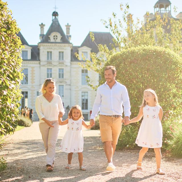
Ballade en famille dans les jardins de Cheverny
©
Ballade en famille dans les jardins de Cheverny
|
Benjamin Brolet
Agenda
Filter search
Page types
All
Articles
Agenda
Lists
Aucun résultat
/
English
Français
Deutsch
Español
Close
×