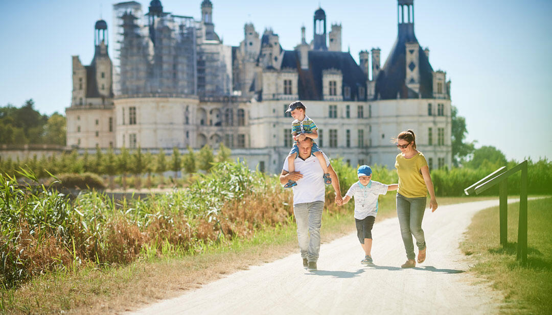
Promenade du canal de Chambord
For children, Walks and hikes, Walking/pedestrian
in Chambord
4.0
km
Loop
Walking/pedestrian
1h
Very easy
-
A route to stretch your legs, enjoy the open spaces of the Chambord estate and take in unparalleled views of the château.
- See all reviews
- 28 meters of difference in height
-
- Start altitude : 80 m
- End altitude : 81 m
- Maximum altitude : 82 m
- Minimum altitude : 76 m
- Total positive elevation : 28 m
- Total negative elevation : -26 m
- Max positive elevation : 3 m
- Min positive elevation : -5 m
Close
Popular searches
- {% label %}
Filter search
Page types
- All
- Articles
- Agenda
- Lists

Aucun résultat