The Loire is the longest river in France. Its watershed, i.e. the Loire, its tributaries and all the rivers that flow into it, covers 40,000 km of waterways. This basin covers one-fifth of France: 9 regions, 26 départements and 7,300 communes, home to 12 million people.
The Loire and its tributaries flow through diverse landscapes. There are 5 main geographical entities:
- Mountain environments and landscapes of plateaus and wooded gorges linking small sub-basins,
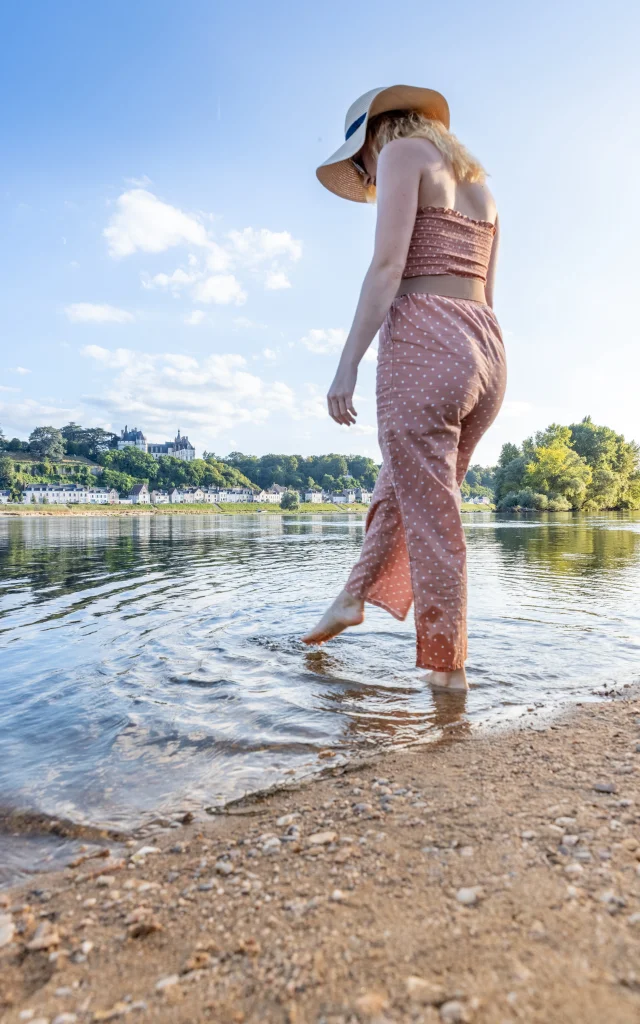
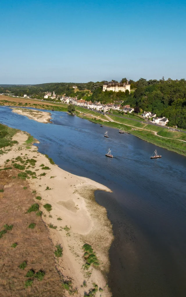
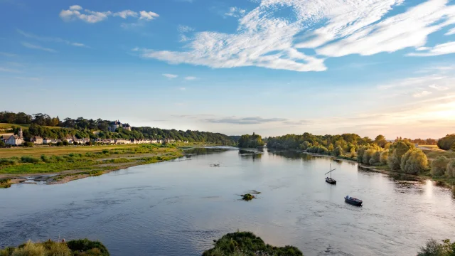
- The wilder alluvial valleys, where the Loire meanders through bocage countryside,
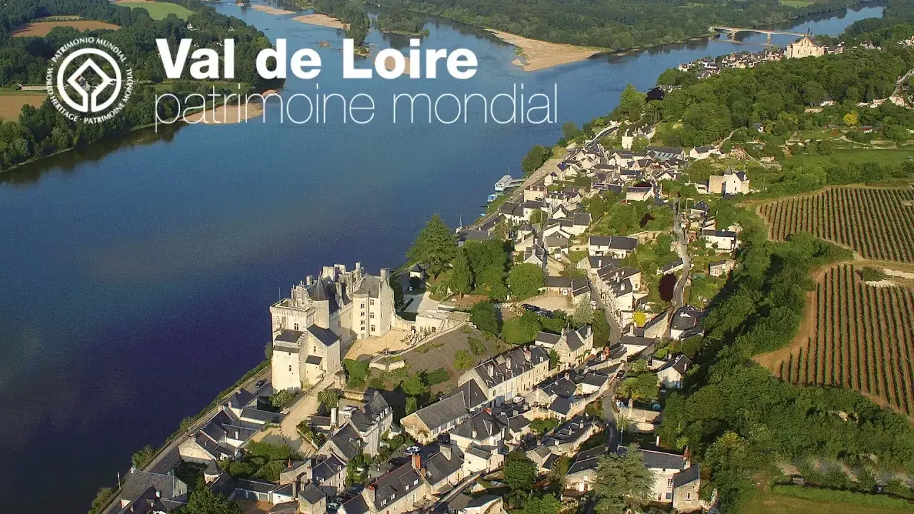
- The Loire valley, whose environments and landscapes are built around the levees,
- The plain valleys, with their more or less intensive farming and livestock breeding,
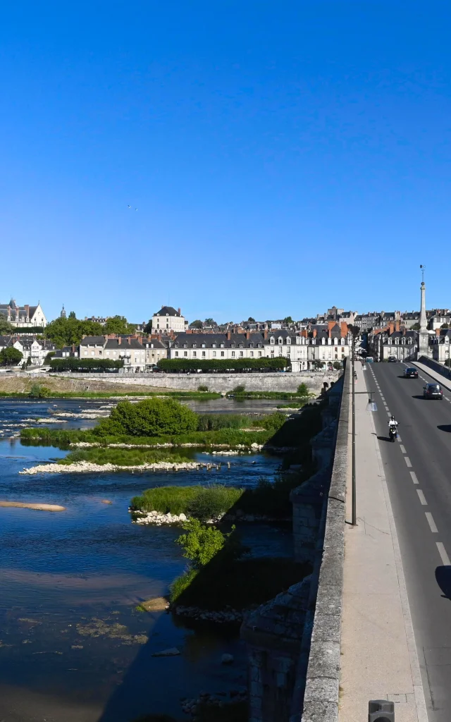
- Finally, the 5th geographical entity of the Loire basin is the estuary. Although the Loire is the longest river in France, it is also highly irregular. Its average annual flow is 350 m3 per second at Orléans and 900 m3 per second at its mouth.
In the Lower Loire, however, this flow can be up to 7 times greater during floods.
Three dams partially regulate this flow: the Grangent and Villerest dams on the Loire, and the Naussac dam on the Allier. They hold back water to stem floods, and then release it to maintain a sufficient flow when the river is at low water, i.e. at its lowest level.
This release of water enables us to provide for our modern uses, such as cooling the nuclear power plants located on the river, at Belleville, Dampierre, Saint-Laurent-des-Eaux and Avoine.
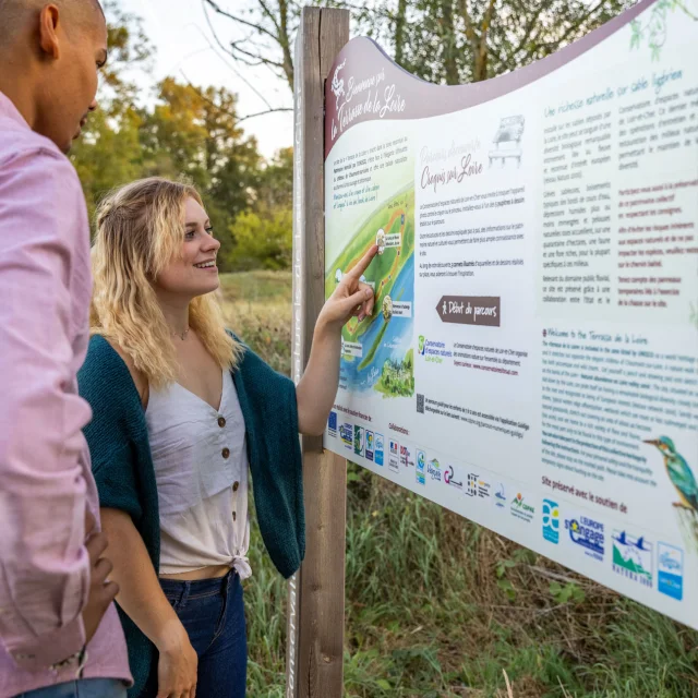
The river is listed in its entirety as a Site of Community Importance in the European Natura 2000 network, under two European directives: “Birds” and “Habitats”. This protects the river’s wild flora and fauna, its biodiversity, its ecosystems and the passageways of migratory species.