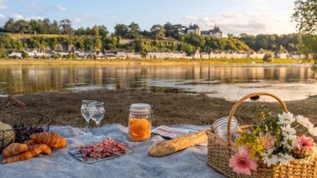
At the start of Châteaux de la Loire, the poet Charles Péguy magnified this river, which was the stuff of dreams for the kings of France, and through them, for an entire people linked to the country’s longest waterway. More than 1,000 km separate its source in the south-east of the Massif Central, in Ardèche, from the estuary of Saint-Nazaire, where it gives the name Loire-Atlantique to the ocean. Then… bon vent!
At the outset, however, the Loire-Atlantique was no more than a small trickle of water with a strong character. In 1938, a student taking her Certificat d’Études was asked:
“Where does the Loire spring from? She replied: “In my grandfather’s barn. Surprising as it may seem, she wasn’t wrong, this little Ardéchoise! The Loire does indeed have several sources, one of which flows into the stone tub of a farmhouse at the foot of Mont Gerbier-de-Jonc, at an altitude of 1417 m.
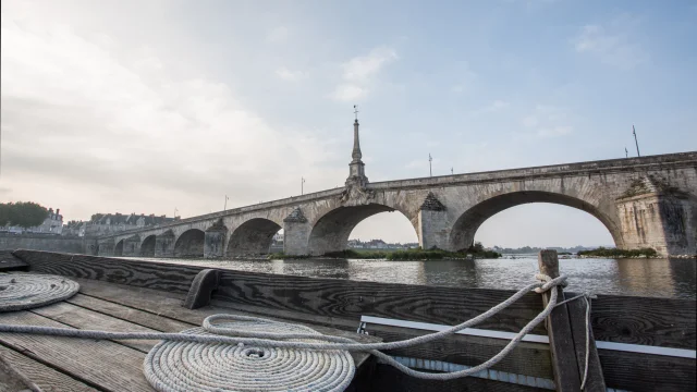
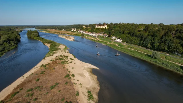
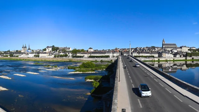
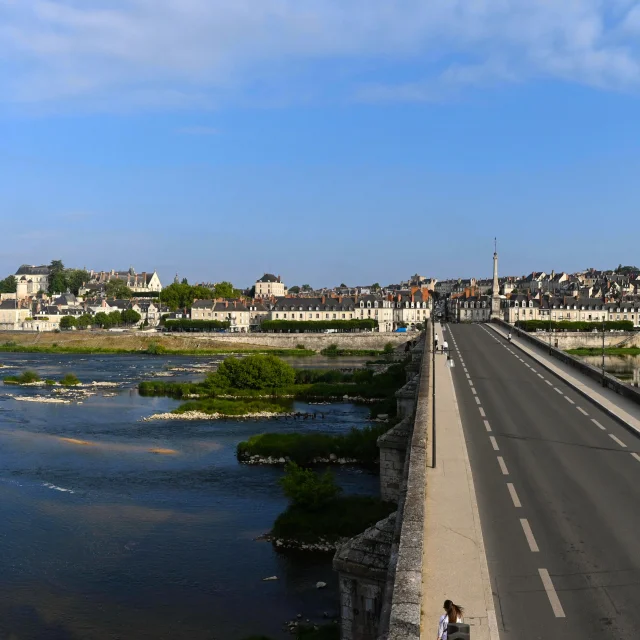
At first torrential and steep, it flows northwards, then softens its course between Châteauneuf and Orléans, crosses Blois and then descends towards Touraine, lazing between Chinon and Saumur, before flowing past Angers. Its course seems lascivious, but don’t be fooled. It’s said to be wild , and it used to be, but it’s a little less so now that it’s been dammed up from Nevers to the Saint-Nazaire estuary. Its 117,000 km² watershed covers one-fifth of France. It marks a meteorological boundary (don’t we talk about the “north” and “south” of the Loire?).
Flooding on the Loire
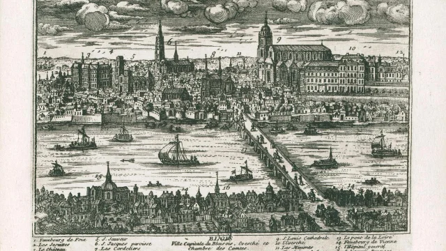
The Loire, a wild river? Yes, but mankind has always tried to contain it, from the turcies (stone and earth dykes, in the Middle Ages) to the levees, built under Colbert in the 17th century, then reinforced after the three great floods of 1846-1856-1866. These floods and overflows are dreaded, as the Loire can rise by 1 to 3 m in less than 24 hours, provided three factors coincide: rainfall from the Mediterranean basin (Cévennes), then in the Allier and Morvan basins, and oceanic lows from the Atlantic in a westerly flow.
Flood prevention is one of the three themes presented by theLoire Observatory scenography, in the Parc des Mées at La Chaussée-Saint-Victor, near Blois. “ We need to explain why the river can flow at up to 7,000m3/second, as it did during the great floods of the 19th century. But why it can also flow at 40m3/second, its lowest low-water mark “, explain Jean-Pierre Bessonie and Alain Amiot, respectively president and communications manager of this association, which combines education and training on the subject of the Loire. “ Blois is a medium-sized town, but it’s rich in Loire issues, and you can find all the history of the Loire here: flood marks on walls, remains of dams, dykes, spillways, the activities of bargemen, and so on “.
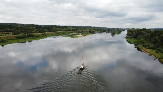
Inland navigation
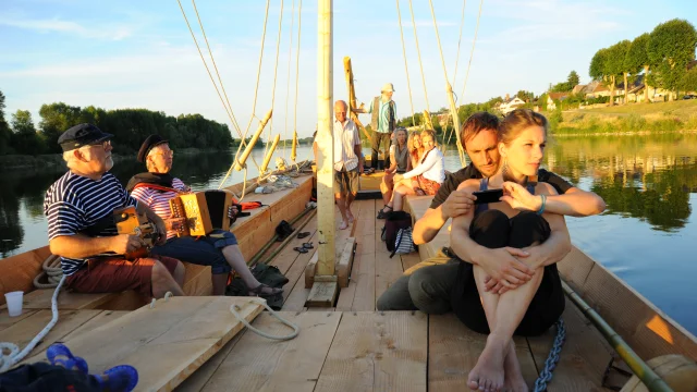
The Loire, a navigable river, at least as far as Orléans. Since the summer of 2017, the theme of barge transport has been presented to the public in this new Loire Observatory. “ Batellerie, Loire sailors, mariners’ lives, all in an old tavern atmosphere. There’s a lot of interactivity, games and so on. To understand the Loire and the life of its sailors, you have to get hands-on: you have to recreate the sailors’ movements, and immerse the public in them ,” adds Alain Amiot. The heritage story of this Loire navigation will be accompanied by an educational booklet to help visitors explore the subject in greater depth, combining the sensitive and the technical.
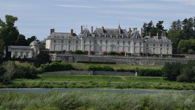
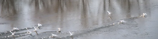 Cygnes Envolee Vincent Boyer