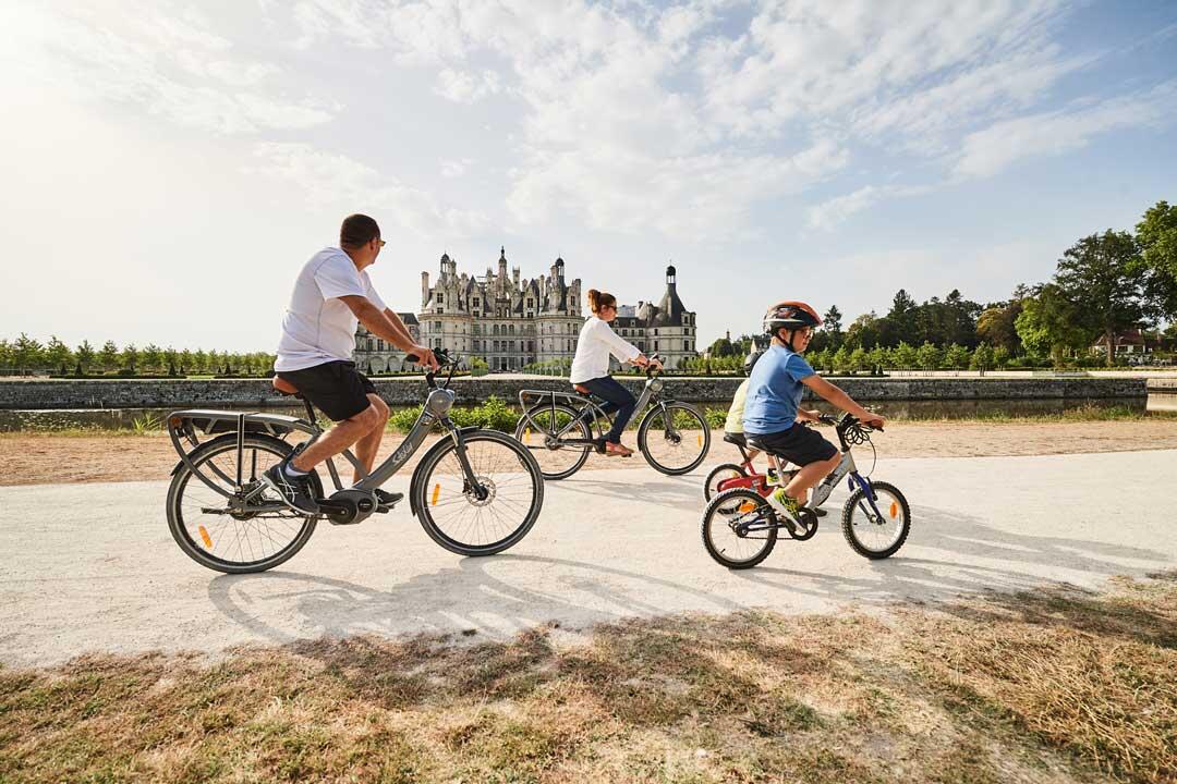
Chambord à vélo en famille
Touring cyclist
in Chambord
9.9
km
Loop
Touring cyclist
1h 30min
Very easy
-
It's a family outing, even for the youngest members of the family. The route, on tracks or footpaths, is safe, and offers a great overview of the estate and château.
A loop starting from the Porte de Saint-Dyé-sur-Loire or the château parking lots.
To geolocate yourself, download the Blois Chambord app and find this route in "Bicycle circuits".
- See all reviews
- 141 meters of difference in height
-
- Start altitude : 99 m
- End altitude : 99 m
- Maximum altitude : 111 m
- Minimum altitude : 75 m
- Total positive elevation : 141 m
- Total negative elevation : -141 m
- Max positive elevation : 10 m
- Min positive elevation : -18 m
Close
Popular searches
- {% label %}
Filter search
Page types
- All
- Articles
- Agenda
- Lists

Aucun résultat