
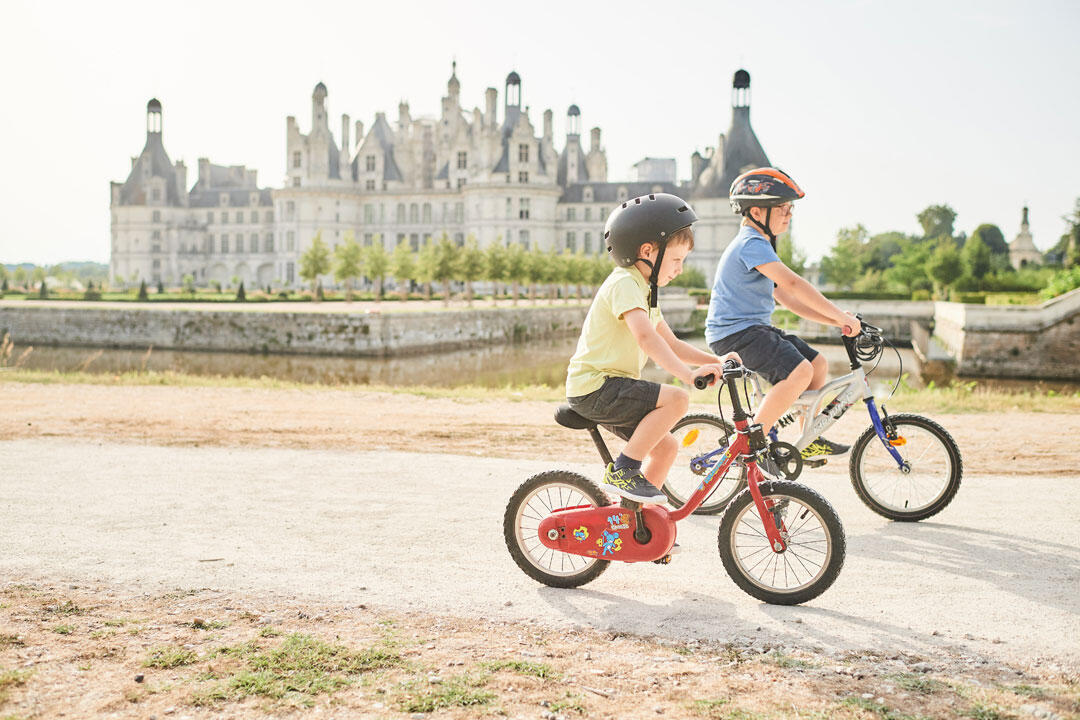
Chambord à vélo - petit parcours
in Chambord
6.3
km
Loop
Touring cyclist
1h
Very easy
-
A short, safe walk around the estate in no more than 1 hour. You'll enjoy views of the château, the canal and a glimpse of the forest.
Route on footpaths, stabilized tracks or shared road (cars limited to 30km/h).
To geolocate yourself, download the Blois Chambord app and find this route in "Bicycle circuits".
- See all reviews
- 68 meters of difference in height
-
- Start altitude : 81 m
- End altitude : 80 m
- Maximum altitude : 99 m
- Minimum altitude : 76 m
- Total positive elevation : 68 m
- Total negative elevation : -68 m
- Max positive elevation : 9 m
- Min positive elevation : -8 m
Is proposed by

Close
Popular searches
- {% label %}

Filter search
Page types
- All
- Articles
- Agenda
- Lists

Aucun résultat