
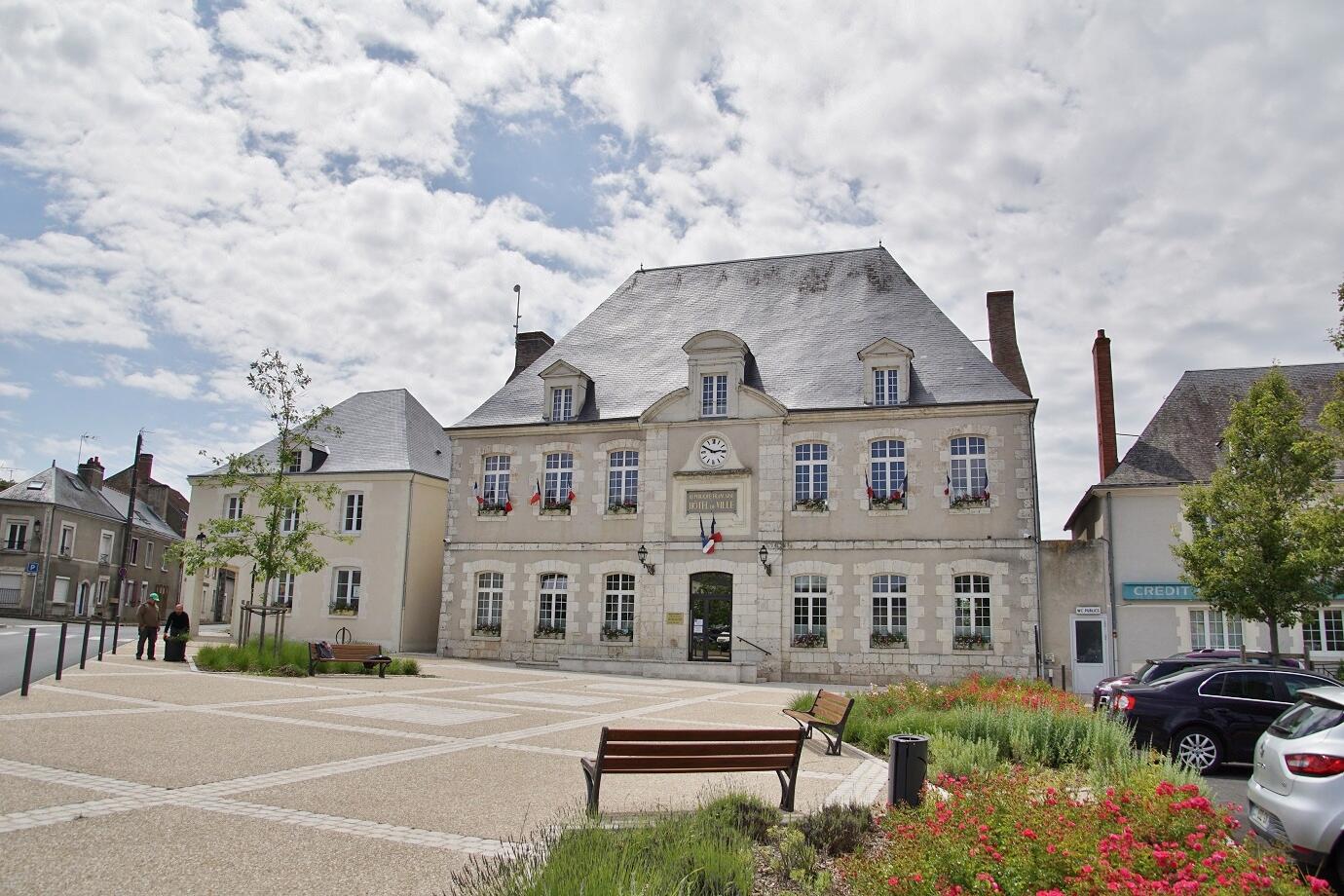
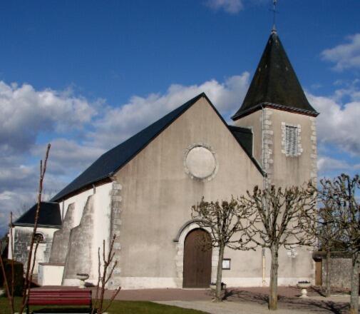
Entre plaine et forêt à Herbault
Walks and hikes
in Herbault
13.1
km
Loop
Walks and hikes
4h 20min
Medium
- See all reviews
- Points of interest
1
- 130 meters of difference in height
-
- Start altitude : 131 m
- End altitude : 131 m
- Maximum altitude : 168 m
- Minimum altitude : 112 m
- Total positive elevation : 130 m
- Total negative elevation : -130 m
- Max positive elevation : 17 m
- Min positive elevation : -35 m
Is proposed by
Close
Popular searches
- {% label %}


Filter search
Page types
- All
- Articles
- Agenda
- Lists

Aucun résultat