
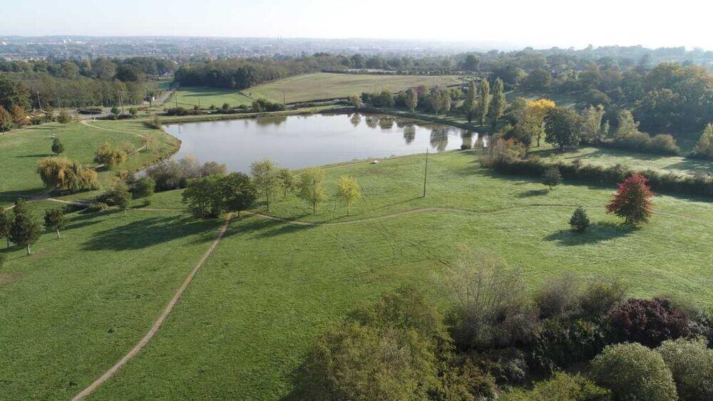
Étang de Montperché de Neuvy
Walks and hikes
in Neuvy
10.9
km
Loop
Walks and hikes
3h 40min
Medium
- See all reviews
- Points of interest
1
- 204 meters of difference in height
-
- Start altitude : 84 m
- End altitude : 84 m
- Maximum altitude : 136 m
- Minimum altitude : 83 m
- Total positive elevation : 204 m
- Total negative elevation : -204 m
- Max positive elevation : 18 m
- Min positive elevation : -16 m
Is proposed by
Close
Popular searches
- {% label %}


Filter search
Page types
- All
- Articles
- Agenda
- Lists

Aucun résultat