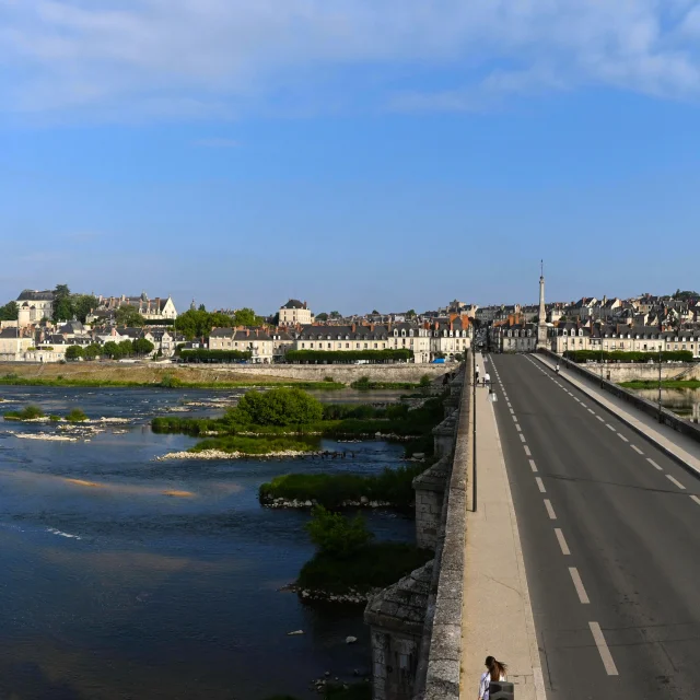
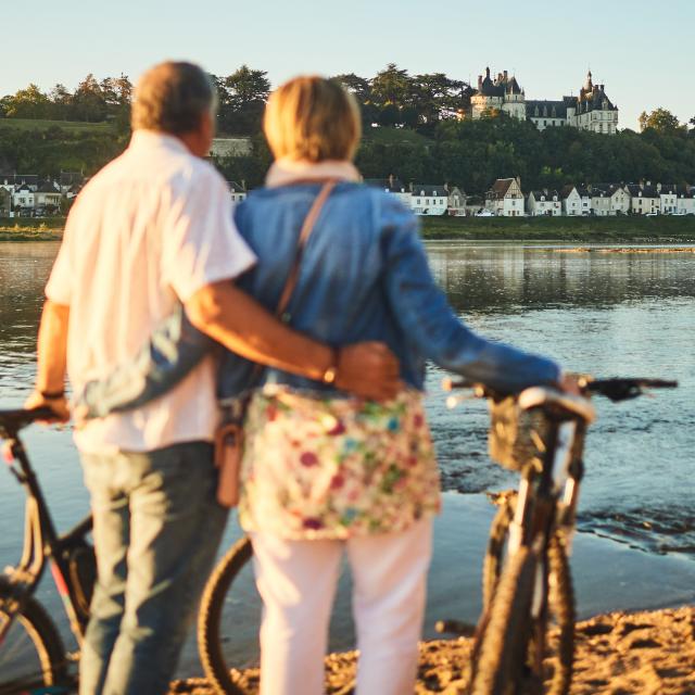
VELO_Creusille-Blois-aout2021-©whoisreno-7289.jpg

Itinéraire 01 - Confluence de Loire

Touring cyclist in Les Montils
26.8 km
Loop
Touring cyclist
3h
Medium
  • Loire confluence
    Following the rivers and your desires, take some time to discover the former fishing village of Candé-sur-Beuvron, the private castles and the remains of the medieval tower and gate in Les Montils. You can contemplate the waters from the Loire, the Cosson and the Beuvron. You might even catch a glimpse of the beavers living on the river banks.

    Follow the route with the app BLOIS CHAMBORD
Points of interest
207 meters of difference in height
  • Start altitude : 107 m
  • End altitude : 106 m
  • Maximum altitude : 118 m
  • Minimum altitude : 65 m
  • Total positive elevation : 207 m
  • Total negative elevation : -207 m
  • Max positive elevation : 31 m
  • Min positive elevation : -25 m
Close
Filter search
Page types
  • All
  • Articles
  • Agenda
  • Lists
Aucun résultat