
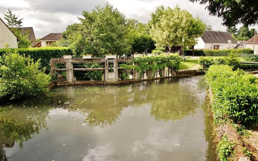
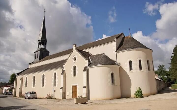
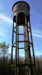
La Besnerie de Monteaux
Walking/pedestrian
in Monteaux
4.2
km
Loop
Walking/pedestrian
1h 20min
Easy
- See all reviews
- Points of interest
1
2
- 78 meters of difference in height
-
- Start altitude : 66 m
- End altitude : 66 m
- Maximum altitude : 91 m
- Minimum altitude : 62 m
- Total positive elevation : 78 m
- Total negative elevation : -78 m
- Max positive elevation : 26 m
- Min positive elevation : -26 m
Is proposed by
Schedules

Close
Popular searches
- {% label %}


Filter search
Page types
- All
- Articles
- Agenda
- Lists

Aucun résultat