
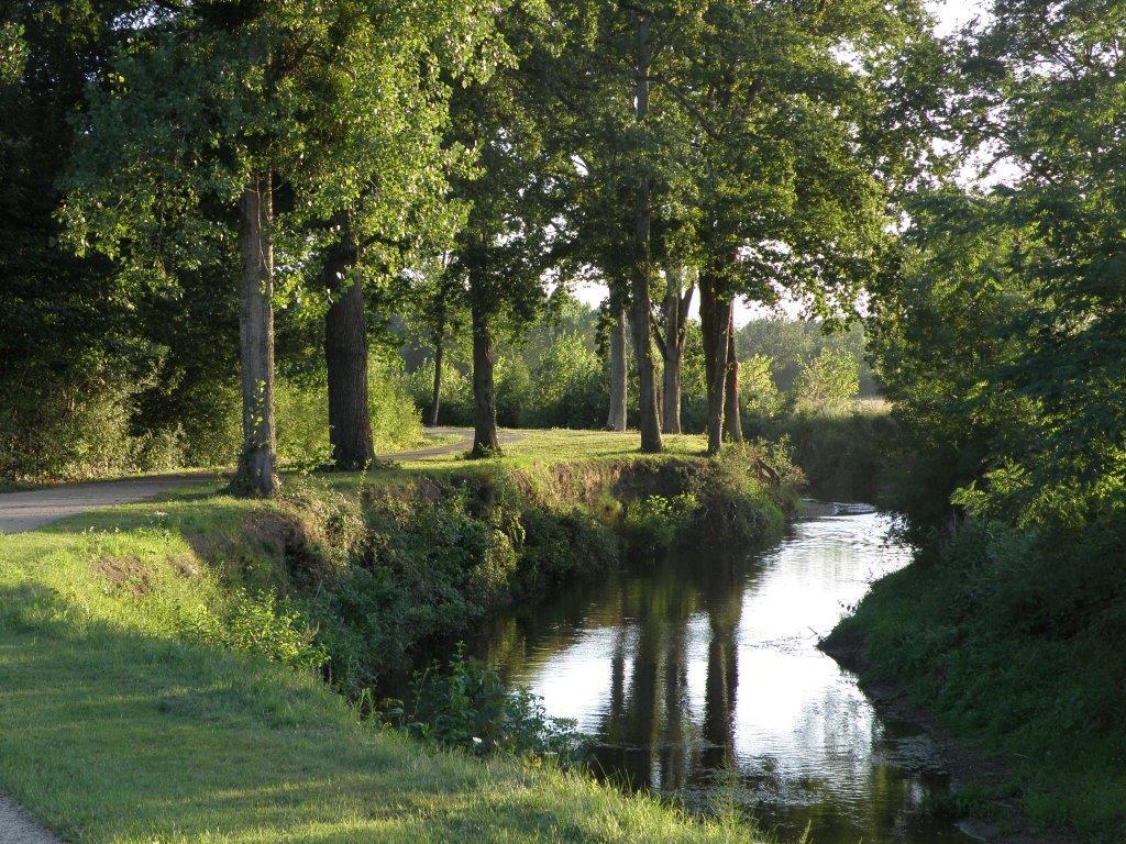
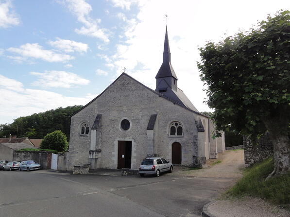
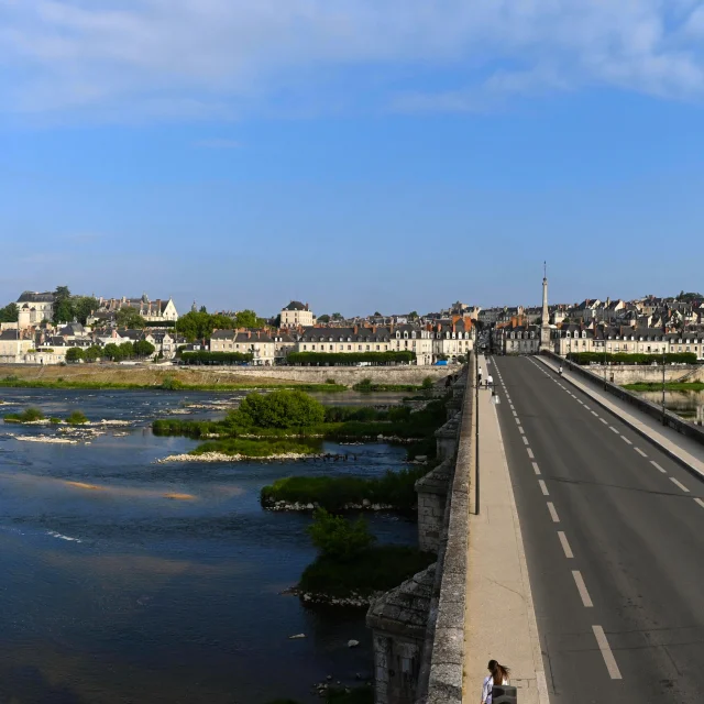
Les Châteaux et forêt de Chaille
Walks and hikes
in Chailles
12.1
km
Loop
Walks and hikes
4h
Medium
- See all reviews
- Points of interest
1
- 212 meters of difference in height
-
- Start altitude : 66 m
- End altitude : 66 m
- Maximum altitude : 127 m
- Minimum altitude : 66 m
- Total positive elevation : 212 m
- Total negative elevation : -212 m
- Max positive elevation : 15 m
- Min positive elevation : -24 m
Is proposed by
Close
Popular searches
- {% label %}


Filter search
Page types
- All
- Articles
- Agenda
- Lists

Aucun résultat