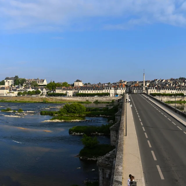
Piste cyclable de Blois à Molineuf
in Blois
6.2
km
-
A brand-new cycle path links the town of Blois (West: Quinière/Rond point des Allées district) to route no. 21 of Les Châteaux à Vélo, at Molineuf (Valencisse).
The 6 km route runs along the edge of the forest, on a lane separated from the road.
- See all reviews
- Points of interest
1
- 115 meters of difference in height
-
- Start altitude : 112 m
- End altitude : 83 m
- Maximum altitude : 157 m
- Minimum altitude : 83 m
- Total positive elevation : 115 m
- Total negative elevation : -144 m
- Max positive elevation : 16 m
- Min positive elevation : -42 m
Close
Popular searches
- {% label %}

Filter search
Page types
- All
- Articles
- Agenda
- Lists

Aucun résultat