VELO_Creusille-Blois-aout2021-©whoisreno-7289.jpg

Itinéraire 01B - Confluence de Loire (Boucle Nord)

Touring cyclist in Les Montils
21.9 km
Touring cyclist
1h 30min
Medium
  • Shorter alternative to route 1.
    North loop, 22km.
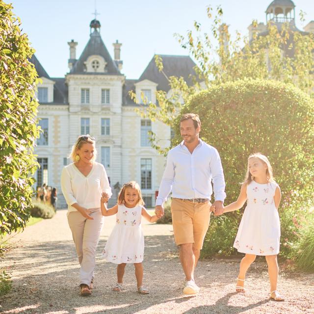
    Take time to discover the châteaux of Madon, Pigeonnière and Frileuse, or the medieval remains of Les Montils.
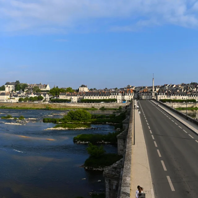
    Take the opportunity to contemplate the waters of the Loire, Cosson and Beuvron rivers. Look closely and you might even spot the beavers that live on their banks.

    Don't miss
    Les Montils: 12th-century medieval gateway.
Points of interest
154 meters of difference in height
  • Start altitude : 91 m
  • End altitude : 91 m
  • Maximum altitude : 118 m
  • Minimum altitude : 65 m
  • Total positive elevation : 154 m
  • Total negative elevation : -154 m
  • Max positive elevation : 30 m
  • Min positive elevation : -14 m
Is proposed by
Close
Page suggestions
Filter search
Page types
  • All
  • Articles
  • Agenda
  • Lists
Aucun résultat